Purcell Mountains, Dogtooth Range, Canyon Creek Drainage
Dogtooth Range Purcell Mountains From Kicking Horse Resort to South Canyon Creek and out Cabin Creek logging road

Sep 20, 2016
September 17-20, 2016
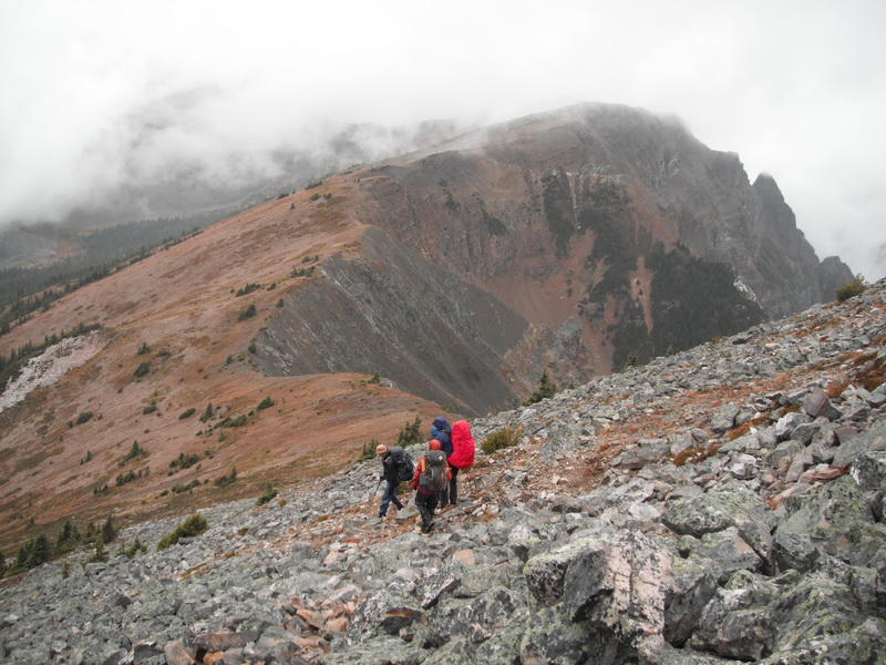
8 candidates and 3 examiners circumnavigated the Canyon Creek drainage located within the Northern Purcell Mountains over 4 days. Grid references are given in WGS 84.
We started at the Kicking Horse Mountain Resort and traversed NW along the Kicking Horse ridge to the North Canyon Creek basin (895 831, 2080m) S of Holt-Canyon Col.
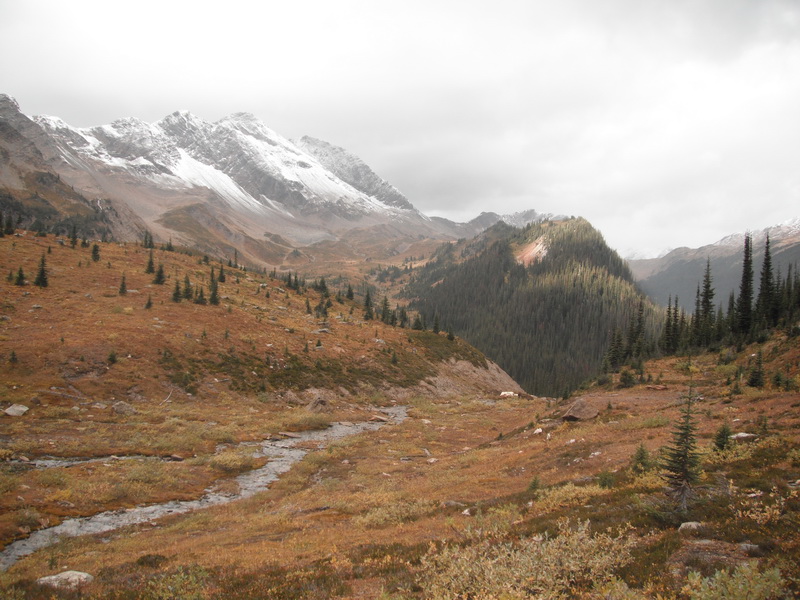
The next day, we traveled SW through the valley bottom to a campsite, near a tarn, N of the pass between Middle and South Canyon Creek (874 802, 2120m). We went over the pass and then a shoulder to the South Canyon Creek drainage the following day. We camped at a gravel flat next to the creek (899 748, 2100m).
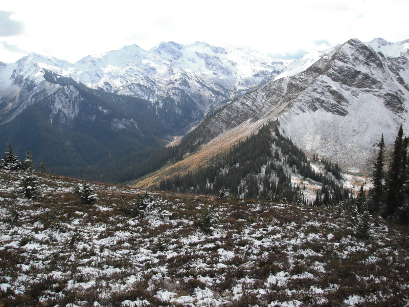
The last day we went over a pass (898 735, 2490m) into the Cabin Creek drainage of the Spillimacheen Valley, accessed by the Cabin Creek branch off of the Spillimacheen FSR.
We ended at the road end which was further SE than what was represented on the Mt Wheeler map 82N/3 (903 698, 1850m). A high clearance vehicle is required to get to this point.
At the start of the trip, September 21, it was 14deg. Over the course of the next four days the temperatures dropped to a nighttime low of -3deg to a daytime high of 7deg. Freezing levels started at 2300m and dropped to 1800m. Snowfall was observed September 19 and 20th, totalling 5cm at 2100m. Variable weather conditions were observed each day. Winds were light and generally out of the SW. Snow and rain conditions make travel on the lichen covered quartzite challenging.
Helen Sovdat MG
Peter Oxtoby HG CGI1
Peter Amann MG