Thompson Rivers University’s ACMG Assistant Hiking Guide course traveled in a number of areas in the Jasper region between June 21st and June 25th. Most treks took place in the eastern slopes and in the Maligne Range.
A day trip on June 21st traversed an unnamed ridge above Two Valley gap, south of Dromore Peak. This off -trail trek offers a 2km ridge that heads south above treeline giving impressive views of the region. The ridge was snow free which is somewhat unusual for this time of year.
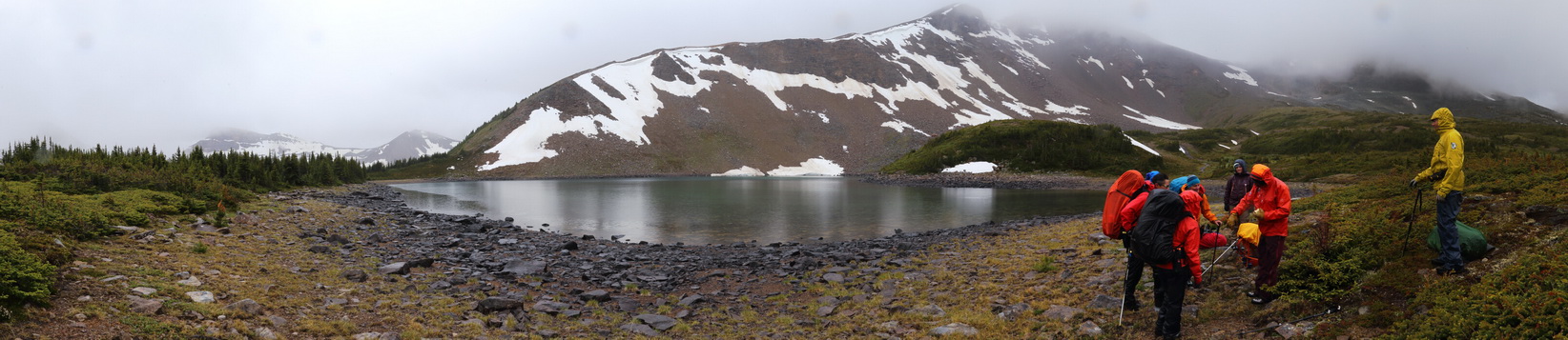
A 3 day backpacking trip was held in the Watchtower Basin area from June 23rd to the 25th. Groups traveled into the Watchtower Basin and into an unnamed drainage west of Watchtower.
From separate camps we hiked NE to a lake at 2060m before traversing on talus slope for 1km at 2280m and headed for a col and sub-summit E of Watchtower peak at 2520m. Groups swapped drainages and camped alternately in these respective areas.
Notable Observations:
-The 50 000:1 83C/13 NTS Map does not correctly identify the lower Watchtower Basin Trail (The Gem Trek 'Jasper and Maligne Lake' map is more accurate)
-Travel through 1350-2500 m elevation band had only limited snow patches on the upper elevations
-Small isolated cornices still linger above leeward slopes in Watchtower Basin, especially near Big Shovel Pass.
-The main trail in Watchtower Basin is muddy and overgrown for most of the trail below treeline.
-Note the bridge directly beside the trail head has been removed but can be crossed by rock hopping. As well, there is no bridge to reach the Watchtower Campground (boots off ford likely needed) where the trail crosses the creek
-Access to the Skyline Trail via Big Shovel Pass would involve sections of snow travel
- Little wildlife was seen on the traveled route though some older bear scat was noted.
- Wildflowers are out in abundance, as were the mosquitoes when it was not raining.
Instructors:
Matt Reynolds MG
Sylvia Forest MG
Steve Ludwig SG HG
Jane Whitney HG
Peter Amann MG