
From the Junction Creek trailhead we forded Sheep River at 50cm, a pole was helpful for balance. We then followed Sheep River Horse Trail to 613 083 and followed game trails to Northern edge of ridge at 608 072. This took 90min. From there we followed the beautiful undulating ridge to 618 052. Descend the skiers right spur going down into drainage picking up visible game trails to arrive at Junction Creek. The desent is steep through small screen that is not deep enough to scree ski. There is no water until you are back at creek. Junction Creek is easily forded. We were attempting to go to Junction Lake but the creek was blasted by flood and trail was gone in most places. We ascended up the creek but travel slowed to 1km/hr. We decided to turn around and stay at a campsite on Junction Creek at 615 044. The second day we walked up the main Junction Creek Trail, that is horse hammered, until we go to the turn off to Pickekjar lakes 019. There are some waterfalls that are visible right away but the main and much larger falls is about 100m up the trail. Many more tent spots open in here. We then did the 9km walk back to the Trailhead. All GR is for MT Rae 82J/10 Overall a nice challenging trip that give some serious off trail hiking mixed with some nice waterfalls.
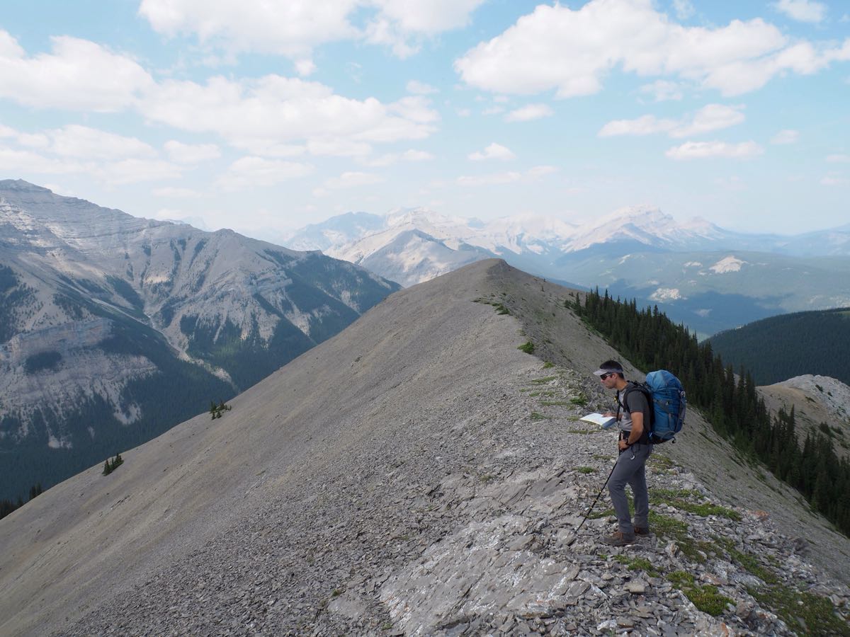
Pic 1: summit Ridge
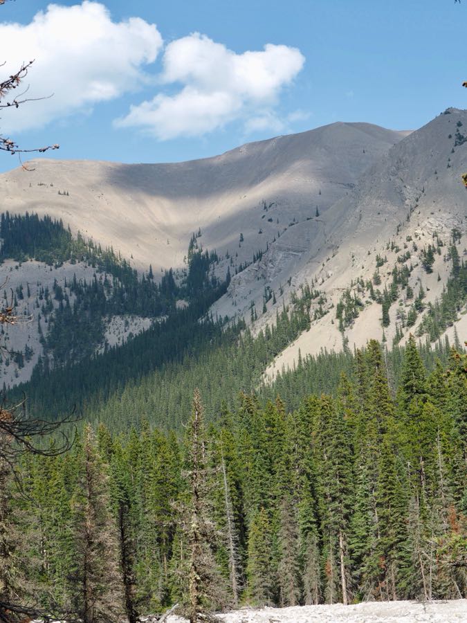
Pic 2: desert route take climbers left and into central gulley
On The Map
These observations and opinions are those of the person who submitted them. The ACMG and its members take no responsibility for errors, omissions, or lapses in continuity. Conditions differ greatly over time and space due to the variable nature of mountain weather and terrain. Application of this information provides no guarantee of increased safety. Do not use the Mountain Conditions Report as the sole factor in planning trips or making decisions in the field.