ACMG Mountain Conditions Summary for the Rocky and Columbia Mountains. October 18, 2018
Beautiful fall weather is upon us! Even though conditions above treeline are more like November there are still plenty of opportunities to get out and enjoy some mountain activities.
WEATHER
After the wettest, snowiest and coldest autumn I have seen in my 30-odd years here we have turned a corner. The last week has seen mostly sunny skies, crisp mornings (often below freezing), warm afternoons and no precipitation. Weather models indicate this will continue until at least the middle of next week. A system may move into the Columbia Mountains on Wednesday, starting with rain and ending with snow - but this is a bit far off for even a supercomputer to be accurate. Time will tell.
CONDITIONS
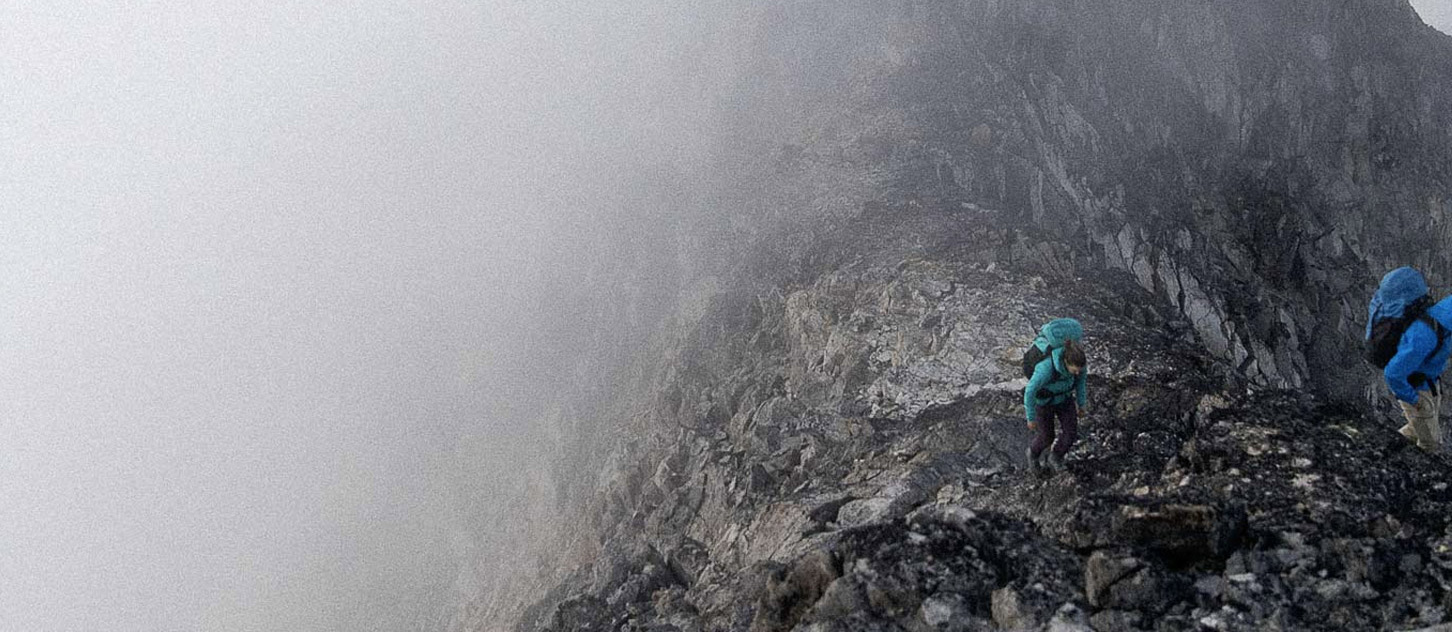
In most areas the snowline is hovering around treeline on north aspects. In the Rockies reports say there is 50-60 cm of snow at that altitude, with snow depths increasing with elevation. No reports for the alpine coming in from the Columbias but the Rogers Pass webcams indicate things are probably about the same - https://www.pc.gc.ca/images/remotecamera/landscape.jpg
Expect a meter or more in true alpine environments in most areas.
The snow is retreating a bit more on southerly aspects. Valley bottoms are dry with lingering snow and ice on trails in shady areas.
HAZARDS
The early season snowfall followed by our present clear and cold weather is creating our first layer of the winter, even though winter has not truly arrived yet. Any snow on the ground now will be forming melt-freeze crusts at lower elevations and sun crusts on solar aspects during the day. The cold nights will cause faceting. Once buried, this combination of crusts and facets at the base of the snowpack is a situation we are used to in Alberta and the interior of BC. However, the weather events of the past 6 weeks may be conspiring to make this a worse than normal basal layer. If you are a skier or climber, now is the time to do some "mental mapping". If you are out in the mountains make sure to stop and observe where in the terrain the snow is lingering now; once buried this is where the dreaded October crust/facet layer will be lurking until the end of the winter...
In the short term, hazards in the next week will include the possibility of avalanche problems in alpine areas (loose wet, windslab, cornice). For lower elevation activities look out for rockfall triggered by the daily melt-freeze cycle, and icy patches on trails. Cleats for your shoes are a good idea even if you are mountain biking. Be aware of the short days and don't get caught out by darkness - carrying a headlamp is mandatory for all activities at this time of year. Brings lots of warm clothing as warm afternoon temperatures rapidly fall once the sun goes down.
OBJECTIVES
In the Rockies folks have been out and about participating in a wide range of activities:
- Mountain biking is great in the valley bottoms with tacky conditions (watch for ice!).
- Hiking will be limited to the valley or popular trails where the snow is packed down but the views are tremendous.
- Rock climbing is enjoyable at valley bottom or south facing venues once it warms up around noon.
- Skiing is still happening at Bow Summit with enough coverage in the north facing terrain above treeline. It sounds thinner in most other zones.
- A few people have ventured towards high elevation north-facing waterfall ice. A few have even been able to climb something, while others walk away. Expect things to be thin and demanding.
- Most scrambling peaks would be a challenge right now, with avalanches and temperature triggered rockfall a real concern.
- No reports of alpine climbing, but I have to wonder whether conditions might be coming into shape on some alpine ice or mixed objectives. Plugging a trail through deep snow on approach and avalanches are obvious concerns.
Although I haven't heard anything from the Columbias recently, I expect things to be similar there.
Take advantage of the good weather and get out there!