ACMG Mountain Conditions Summary for the Rockies and Columbia Mountains issued June 23th, 2017
After unsettled weather during the last few days, it is looking like great weather for the first official weekend of summer. Cool, clear nights and sunny days :)
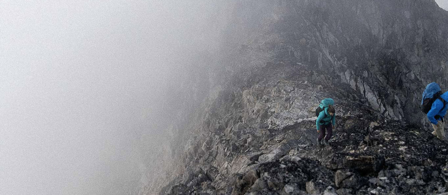
The storms over the last few days have dropped 5-15cm of new snow over the high country of the Rockies and I can see a fresh dusting of snow on Mt Rundle this morning. One fresh size 2 serac triggered avalanche was reported off the Silverhorn on Mt Athabasca Thursday, running down across the start of the popular “Ramp” route. Loose wet slides up to size 2 are still being observed in all mountain ranges as the snow heats up. A reminder that avalanche season is still with us. The possibility of basal weaknesses in the Rockies waking up with warmer daytime temps is also still in the back of my mind. Start early to take advantage of better travel, and be off the big slopes before they heat up. The general consensus seems to be that we are a few weeks behind the snow melt levels of the last few years.
Lots of really good info and photos from recent MCR Reports. The gist of it is that while the snowline continues to creep upwards…in most of the main ranges of the Rockies and Columbia’s you can expect to start breaking trail at treeline. Above this expect quite a bit of snow especially on north aspects, though steeper south facing objectives like Gimli or the Crescent Towers are beginning to dry out. You can use this snow to your advantage in areas like Rogers Pass where access up the Herdman Couloir to Mt Macdonald, or the south face of Mt Tupper could be easier; while other places like the Bugaboos and Lake O’Hara might need a bit more of a sense of humor on the approaches to deal with the post holing. With the current forecast, snow travel on the icefields could be quite good early in the morning, but the nights are short so expect conditions to deteriorate quickly when the sun hits. More reports of crevasse bridges beginning to sag at lower elevation, so keep a snug rope while travelling, and expect possible bridge failures, though higher elevation glaciers still have excellent coverage.
Lower elevation peaks and more Easterly areas are drying out nicely. While a few snow patches still linger, alpine rock routes on Castle, Louis, the Finger, Buller, the Fist and many others are generally in good shape. Watch for snow melt induced rock fall if you are travelling under snow patches and shady aspects may be wet. An ice axe could be useful for things like the Castle Mountain upper gully descent.
Have a great weekend!
Conrad Janzen
ACMG Mountain Guide