ACMG Mountain Conditions Report Summary for the Rockies and Columbia Mountains issued May 13, 2016
Interior/Rockies:
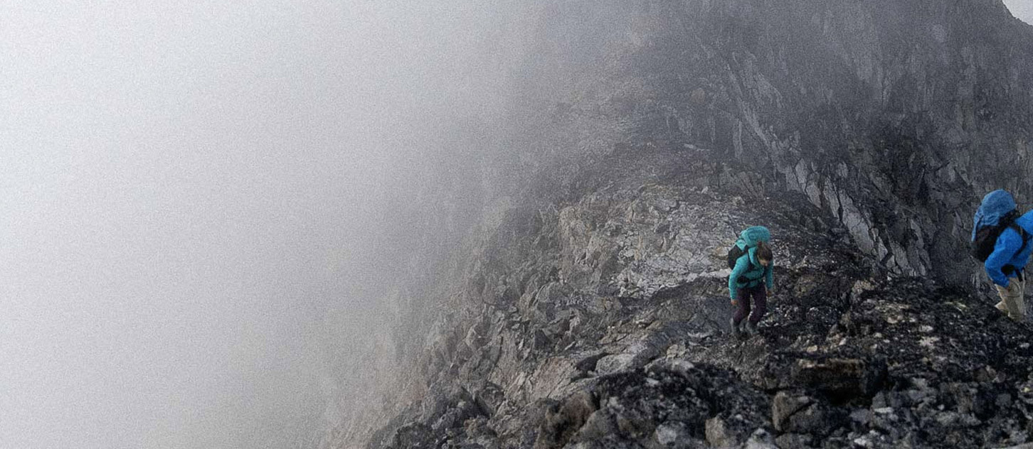
If you don't mind the ruggedness of below treeline travel (which has been mostly dry trail walking up until this last storm), this has been a great spring for mountain adventures with good skiing in the alpine and more recently good alpine climbing to be had. Just this past week Mt. Columbia, Athabasca N Face, A-Strain, Practice Gullies and Andromeda via AA col on the Colubmia Icefields were all climbed with excellent conditions reported apart from some looming overhead crevasses in places like A-strain and Practice Gullies.
The excellent spring conditions we've been having over the past couple of weeks got an injection of snow over the past 24 hours. Accumlations are in the range of 10 to 40 cm with the greatest amounts being reported on the backside of Mt. Yamnuska on the east slopes of the Rockies yesterday morning during a rescue of a hiker/scrambler who I can imagine wasn't quite expecting the Himalayan ambience he got up up there.
There will be an increase in avalanche hazard in areas with heavier accumulations. Keep an eye out for new storm and wind slabs especially in high exposed lee alpine areas, and in gully features with overhead hazard.
The snowline dipped well below treeline, so expect a lot of new fresh snow in the alpine that will definitely improve skiing conditions but also serve to hide the sagging and melting out crevasses that have formed.
While the snowpack has been reported as being thinner than normal (estimates of 50% of normal in the Bugaboos and Selkirks), the excellent travel on hard dense snow surfaces on the glaciers has made up for that so far. Exceptions would be in heavily crevassed, wind exposed zones like the upper part of North Twin which nipped the surprised leg of one mountain guide earlier this week.
Photos from the Bugaboos suggest that safe passage through the Bugaboo-Snowpack col will be especially shortlived this year -- early July at the latest before it because a rubble pile. So you might want to plan a trip there especially early this year -- many rock routes were completely dry earlier this week (though covered in fresh snow now).
This new snow overlies hard crusts up to mountain tops. After it settles, which might only take a day or two in areas with less snow accumulations, things should return to normal.
The weather forecast over next few days promises a return to clear skies and good overnight freezes, so there might be a return to the alpine glory we've been enjoying sooner than you might think!
Tom Wolfe
Mountain Guide ACMG/IFMGA